
ISRO’s
100th Launch from SDSC and NavIC's Advancements
1. Introduction
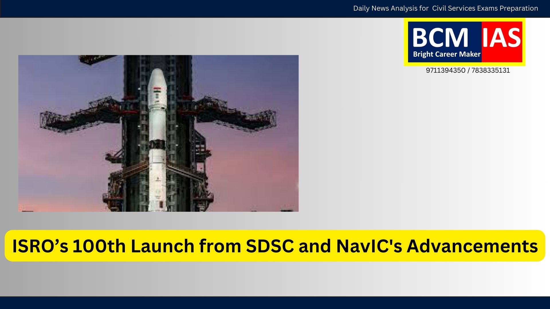
The Indian Space Research Organisation (ISRO)
has achieved a significant milestone by conducting its 100th launch from the
Satish Dhawan Space Centre (SDSC), Sriharikota, using GSLV-F15 to deploy
NVS-02, the second-generation NavIC satellite. This launch marks India’s
continued push towards self-reliant satellite navigation technology, reducing
dependence on foreign GPS systems and strengthening national security, precision
navigation, and geospatial capabilities.
2. Understanding the
Navigation with Indian Constellation (NavIC)
A. What is NavIC?
- NavIC
(Navigation with Indian Constellation) is a regional satellite navigation
system developed by ISRO, similar to GPS (US), GLONASS (Russia), Galileo
(EU), and BeiDou (China).
- It
provides precise position, velocity, and timing services to users across
India and 1,500 km beyond its borders.
B. Satellite
Structure of NavIC
- Total
Satellites: 8 (7 operational, 1 backup).
- Orbital
Distribution:
- 3
in Geostationary Orbit (GEO) – Fixed position relative to the Earth.
- 4
in Geosynchronous Orbit (GSO) – Move in sync with Earth’s rotation but
with a tilted orbit.
C. Key Features of
NavIC
- Highly
accurate real-time positioning for civilian and strategic users.
- Works
even in high-latitude regions where GPS has limitations.
- Recognized
by the International Maritime Organization (IMO) for operations in the
Indian Ocean Region.
- Supports
military applications, disaster management, fleet tracking, and time
synchronization.
3. Significance of
ISRO’s 100th Launch (GSLV-F15 & NVS-02 Satellite)
A. The Importance of
NVS-02
- Second-generation
NavIC satellite, enhancing position accuracy, security, and operational
lifespan.
- Uses
L1 frequency, making it compatible with international mobile devices,
increasing its adoption.
- Provides
critical support to sectors like telecom, transportation, and defense.
B. Milestone
Achievement: 100 Launches from SDSC
- SDSC,
Sriharikota has been ISRO’s primary launch site since 1979.
- First
launch: Rohini Technology Payload (partially successful, 1979).
- Key
Missions from SDSC:
- Chandrayaan-1
(2008): First Moon mission, confirmed water on the Moon.
- Mars
Orbiter Mission (2013): First Asian nation to reach Mars on its first
attempt.
- PSLV-C37
(2017): World record of 104 satellites launched in a single mission.
- Chandrayaan-2
(2019): Attempted Moon landing, orbiter still functional.
- Chandrayaan-3
(2023): India’s first successful soft landing on the Moon (Lunar South
Pole).
- Aditya-L1
(2023): India’s first solar mission to study the Sun’s outer layers.
GSLV-F15 is the 17th GSLV mission, featuring
an indigenous cryogenic upper stage, boosting India's heavy satellite launch
capabilities.
4. Challenges Faced
by NavIC and ISRO’s Space Technology Advancements
A. Issues with NavIC
1. Satellite
Lifespan Constraints
o Some
NavIC satellites have exceeded their operational lifespan, requiring urgent
replacements.
o The
NVS-02 launch aims to address this challenge.
2. Limited
Coverage Beyond India
o NavIC
is a regional system, unlike GPS (global coverage).
o Expansion
requires more satellites and international collaboration.
3. Compatibility
with Consumer Devices
o Many
mobile phones and commercial devices do not support NavIC-based positioning.
o The
L1 frequency adoption in second-generation NavIC satellites will improve this
issue.
B. Broader Challenges
in India’s Space Missions
1. Competition
from Global Navigation Systems (GPS, GLONASS, BeiDou, Galileo)
o GPS
is widely used internationally, making NavIC adoption slower.
o India
needs stronger global partnerships for NavIC integration.
2. Cybersecurity
and Data Integrity Risks
o Space-based
navigation systems can be vulnerable to cyberattacks.
o Enhanced
encryption and security protocols are necessary.
3. Funding
and Technological Development
o India
is expanding low-cost space technologies, but more investments in deep-space
exploration are needed.
5. Future Prospects
and Way Forward for NavIC and ISRO
- Expanding
NavIC’s Coverage: ISRO should launch more satellites
to expand NavIC into a global system, competing with GPS and BeiDou.
- Enhancing
Mobile & Commercial Adoption: Collaborate
with smartphone manufacturers and global tech firms to integrate NavIC
into navigation systems.
- Strengthening
Cybersecurity Measures: Develop secure
encryption for NavIC signals to prevent hacking and spoofing threats.
- Global
Partnerships for Space Cooperation: India should
collaborate with regional partners (ASEAN, African nations) to expand
NavIC’s reach.
- Boosting
Private-Sector Involvement: Promote public-private
partnerships in satellite development through ISRO’s commercial arm NSIL
(NewSpace India Ltd.).
6. Conclusion
The 100th launch from SDSC and the deployment
of NVS-02 highlight ISRO’s growing expertise in space-based navigation systems.
NavIC's expansion is a strategic move towards self-reliance in positioning
technology, benefiting defense, disaster management, telecom, and
transportation sectors. While challenges like compatibility and limited
coverage remain, continued technological advancements and global collaborations
can help India establish itself as a leader in satellite navigation and space
exploration.
MCQs
1. With reference to
the Navigation with Indian Constellation (NavIC), consider the following
statements:
1.
NavIC is a global satellite navigation system
developed by ISRO.
2.
It consists of satellites placed in both
geostationary and geosynchronous orbits.
3.
NavIC has been recognized by the
International Maritime Organization (IMO) for use in the Indian Ocean Region.
Which of the statements given above
is/are correct?
A. 1
and 2 only
B. 2
and 3 only
C. 1
and 3 only
D. 1,
2, and 3
Answer: B.
2 and 3 only
Explanation:
NavIC is a regional satellite navigation system, not a global one. It consists
of satellites in both geostationary and geosynchronous orbits. The IMO has
recognized NavIC for maritime navigation in the Indian Ocean Region.
2. What was the
significance of ISRO’s 100th launch from the Satish Dhawan Space Centre (SDSC)?
A. It marked India's
first human spaceflight under the Gaganyaan Mission.
B. It
launched the second-generation NavIC satellite (NVS-02) using GSLV-F15.
C. It
established ISRO’s first international collaboration for satellite navigation.
D. It
was the first launch to use a fully reusable launch vehicle.
Answer: B.
It launched the second-generation NavIC satellite (NVS-02) using GSLV-F15.
Explanation: The
100th launch from SDSC was conducted using GSLV-F15 to deploy NVS-02, which is
part of the second-generation NavIC system.
3. Which of the
following correctly describes the purpose of the NVS-02 satellite launched by
ISRO?
1.
It aims to improve the accuracy of India's
regional satellite navigation system.
2.
It incorporates the L1 frequency, making
NavIC more compatible with global mobile networks.
3.
It expands NavIC’s coverage to the entire
globe.
Select the correct answer using the codes
given below:
A. 1 and
2 only
B. 2
and 3 only
C. 1
and 3 only
D. 1,
2, and 3
Answer: A.
1 and 2 only
Explanation:
NVS-02 enhances the accuracy of NavIC and incorporates the L1 frequency,
improving compatibility with smartphones. However, NavIC remains a regional
system, not a global one.
4. Which of the
following is a key advantage of NavIC over the Global Positioning System (GPS)?
A. NavIC provides
real-time global coverage, whereas GPS is limited to regional navigation.
B.
NavIC operates under India's full control, ensuring security, whereas GPS is
controlled by the United Nations.
C.
NavIC offers better accuracy in India and surrounding regions compared to GPS.
D.
NavIC uses nuclear-powered satellites, making it more durable than GPS.
Answer: C.
NavIC offers better accuracy in India and surrounding regions compared to GPS.
Explanation:
NavIC provides higher accuracy than GPS within India and up to 1,500 km beyond
its borders. GPS is a global system controlled by the US government, not the
United Nations.
5. Which of the
following challenges are associated with the adoption of NavIC?
1.
Some NavIC satellites have exceeded their
operational lifespan and require urgent replacement.
2.
Limited adoption in smartphones and consumer
devices due to lack of compatibility.
3.
NavIC signals are highly encrypted, making
them unavailable for civilian applications.
Select the correct answer using the codes
given below:
A. 1
and 2 only
B. 2
and 3 only
C. 1
and 3 only
D. 1,
2, and 3
Answer: A.
1 and 2 only
Explanation:
Some NavIC satellites have exceeded their lifespan, requiring replacements like
NVS-02. Smartphones and consumer devices are still adapting to NavIC
compatibility. However, NavIC has both encrypted (military) and open (civilian)
signals, so statement 3 is incorrect.

Comments on “ISRO’s 100th Launch from SDSC and NavIC's Advancements”