
How the 2004 Indian Ocean quake transformed tsunami science
The 2004 Indian Ocean
earthquake and tsunami marked a pivotal moment in the study of tsunamis,
revolutionizing our understanding of their generation, effects, and
preparedness measures. Here's an overview of the key aspects:
1. The 2004
Indian Ocean Earthquake and Tsunami: Key Facts
- Magnitude and Location: A 9.1 magnitude earthquake, the third-largest recorded
since 1900, occurred off the coast of Sumatra in the Sunda Trench.
The source was 30 km below the ocean floor.
- Impact: The earthquake caused a 1,300 km rupture along the tectonic
plate boundary.
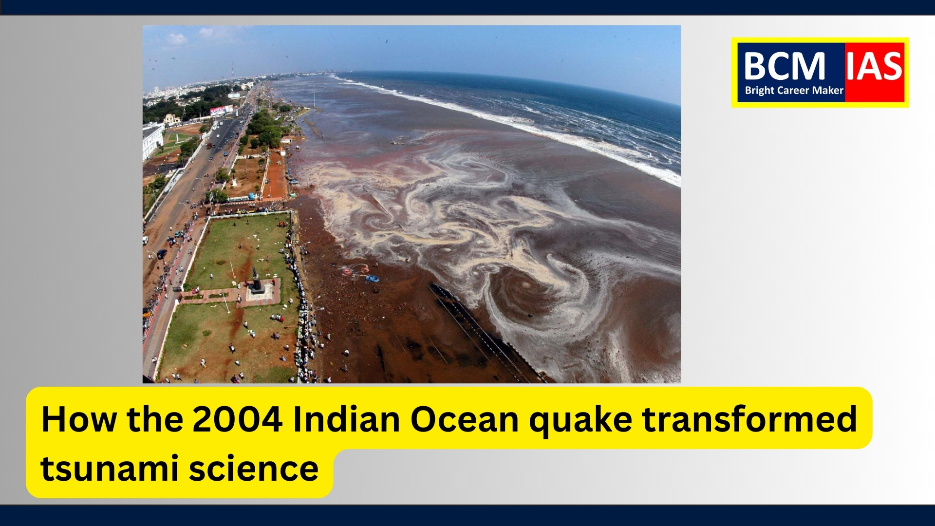
- The resulting tsunami
devastated 17 countries along the Indian Ocean, causing around 227,000
deaths and displacing 1.7 million people.
- Unprecedented Scale: The tsunami reached distant shores, including India’s eastern
coast, a region with no prior significant tsunami history.
2. Lessons
and Developments Since 2004
2.1.
Scientific Advancements
- Tsunami Warning Systems:
- The Indian Tsunami Early
Warning Centre (ITEWC) was established in 2007, operated by the Indian
National Centre for Ocean Information Services (INCOIS).
- Using seismological stations,
bottom pressure recorders, and tidal stations, ITEWC provides real-time
tsunami alerts within 10 minutes of a potential tsunami-producing
earthquake.
- Tsunami Geology:
- Researchers, inspired by the
pioneering work of Brian Atwater, explored historical tsunami
events.
- Evidence of past tsunamis was
found in places like Mahabalipuram, indicating similar events
occurred about 1,000 years ago.
- Sedimentary studies helped
distinguish between tsunami and storm deposits.
- Seismic Research:
- Studies of slow-slip
events at tectonic boundaries (e.g., in the Andaman-Sumatra region)
provided insights into earthquake precursors.
- Geodetic data confirmed short-term
fault slips before large earthquakes, aiding earthquake prediction
efforts.
2.2.
Preparedness and Resilience
- Disaster Risk Management:
- The 2004 disaster highlighted
the need for disaster risk reduction through preparedness and
infrastructure resilience.
- Nuclear power plants, like
Kalpakkam in Tamil Nadu, were reviewed for safety. The plant withstood
the tsunami but underscored the importance of failsafe mechanisms.
- Policy and Infrastructure:
- Governments improved early
warning systems and disaster response protocols.
- There is increased focus on
vulnerable areas like the Makran Coast (Iran-Pakistan) and Myanmar
coast, which could affect Indian cities like Mumbai.
3. Broader
Implications
3.1.
Subduction Zones and Earthquake Studies
- Tectonic Plate Stress:
- Subduction zones like the Andaman-Sumatra
region are crucial for understanding earthquake generation.
- Slow-slip events and seismic transients at plate boundaries are now studied to
identify potential precursors to large earthquakes.
3.2. Global
Learnings
- The 2011 Tohoku earthquake in Japan
(magnitude 9.1) reinforced the lessons of 2004:
- It showed how tsunami hazards
could affect nuclear power plants, as seen in the Fukushima Daiichi
disaster.
- The event demonstrated the
transoceanic effects of tsunamis, influencing global safety protocols.
4.
Challenges and Unanswered Questions
- Unexamined Zones:
- Parts of the subduction
zone between Myanmar and India, as well as regions near Great
Nicobar, remain unstudied. These could produce major earthquakes and
tsunamis.
- Data Gaps:
- Historical data on tsunamis
and earthquakes in the Indian Ocean region is limited.
- Distinguishing tsunami
deposits from storm deposits requires continued research.
5.
Conclusion
The 2004 Indian Ocean
earthquake transformed tsunami science and disaster preparedness globally. It
led to advances in warning systems, seismic research, and geological
studies, while emphasizing the importance of resilience and infrastructure
safety. Despite these achievements, ongoing research and preparedness are
vital to address emerging threats and protect vulnerable coastal communities.
MCQs
Q1.
What was the magnitude of the 2004 Indian Ocean earthquake, the third-largest
recorded since 1900?
A. 8.1
B. 8.5
C. 9.1
D. 9.5
Answer:
C
Explanation: The earthquake was a magnitude 9.1, making it one of
the strongest ever recorded.
Q2.
Which tectonic plates were involved in the 2004 Indian Ocean earthquake?
A. Eurasian plate and Pacific plate
B. Indo-Australian plate and Burma microplate
C. North American plate and African plate
D. Indian plate and Antarctic plate
Answer:
B
Explanation: The earthquake occurred at the Sunda trench, where
the Indo-Australian plate subducts beneath the Burma microplate.
Q3.
Which Indian government organization operates the Indian Tsunami Early Warning
Centre (ITEWC)?
A. India Meteorological Department (IMD)
B. Geological Survey of India (GSI)
C. Indian National Centre for Ocean Information Services (INCOIS)
D. National Disaster Management Authority (NDMA)
Answer:
C
Explanation: The Indian National Centre for Ocean Information
Services (INCOIS) operates the ITEWC, which provides real-time tsunami
alerts.
Q4.
What major scientific advancement was inspired by the 2004 tsunami?
A. Use of tidal gauges to measure sea surges
B. Study of slow-slip events at tectonic plate boundaries
C. Identification of the Makran Coast as a subduction zone
D. Establishment of a global tsunami fund
Answer:
B
Explanation: The study of slow-slip events provided insights into
earthquake precursors, contributing to modern seismological research.
Q5.
What historical tsunami evidence was discovered at Mahabalipuram after the 2004
tsunami?
A. An ancient underwater city
B. Sedimentary deposits indicating a tsunami from 1,000 years ago
C. A shipwreck from the Pallava dynasty
D. Geological shifts caused by an asteroid impact
Answer:
B
Explanation: Excavations at Mahabalipuram unearthed sedimentary evidence
of a tsunami that occurred 1,000 years ago, contributing to the study of
historical tsunamis.
Mains Question
Q: How did
the 2004 Indian Ocean earthquake and tsunami transform tsunami science and
disaster preparedness globally? Discuss the advancements and challenges that
followed the event.
Model
Answer
Introduction
The 2004 Indian Ocean earthquake and tsunami, with a magnitude of 9.1,
devastated 17 countries and claimed over 227,000 lives, making it the
deadliest tsunami in recorded history. This disaster underscored the world’s
vulnerability to natural hazards, particularly in regions with limited
historical tsunami data. It also catalyzed significant advancements in tsunami
science and disaster preparedness globally.
Body
1.
Transformations in Tsunami Science
- Improved Early Warning Systems:
- The Indian Tsunami Early
Warning Centre (ITEWC) was established in 2007.
- Advanced seismological
stations, bottom pressure recorders, and tidal stations enable real-time
monitoring and alerts within 10 minutes of potential tsunami
events.
- Tsunami Geology:
- Inspired by the work of Brian
Atwater, researchers identified historical tsunami evidence, such as
sedimentary deposits in Mahabalipuram and the Andaman and Nicobar
Islands.
- Studies distinguished tsunami
deposits from storm deposits, improving understanding of past events.
- Seismic Research:
- The study of slow-slip
events at subduction zones revealed precursors to large earthquakes.
- Geodetic data showed short-term
fault slips before major seismic events, enhancing predictive
capabilities.
2.
Advancements in Disaster Preparedness
- Global Coordination:
- The 2004 disaster spurred the
establishment of regional and global tsunami warning systems, with India
joining countries like the U.S., Japan, Chile, and Australia in
developing advanced systems.
- Policy Improvements:
- Governments strengthened
disaster management policies, focusing on preparedness and resilience.
- Nuclear facilities, such as
the Kalpakkam power plant, were reviewed for safety against
tsunami risks.
- Community Awareness:
- Increased awareness campaigns
and evacuation drills have empowered coastal communities to respond
effectively during disasters.
3.
Challenges Post-2004
- Unexamined Zones:
- Regions like the Makran
Coast and parts of the Andaman-Sumatra subduction zone remain
vulnerable and inadequately studied.
- Data Gaps:
- Historical tsunami records
are limited in the Indian Ocean region, making long-term risk assessments
challenging.
- Infrastructure Vulnerability:
- Despite advancements,
critical infrastructure, including nuclear power plants, remains at risk
in the event of unforeseen tsunamis.
- Climate Change Impact:
- Rising sea levels and
unpredictable weather patterns exacerbate the risks associated with
coastal disasters.
Conclusion
The 2004 Indian Ocean tsunami transformed tsunami science and disaster
management globally, fostering advancements in early warning systems, geological
studies, and preparedness measures. However, challenges such as
unexamined seismic zones and infrastructure vulnerabilities persist. Continued
research, policy implementation, and community engagement are vital to mitigate
future risks and enhance resilience against such catastrophic events.

Comments on “How the 2004 Indian Ocean quake transformed tsunami science”