
Cyclone Dana
Cyclone
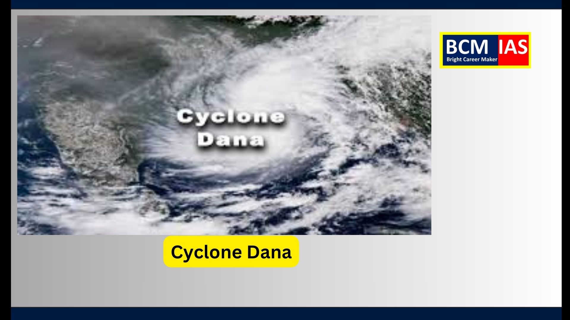
Dana and India’s Preparedness for Cyclone Disasters
The India Meteorological
Department (IMD) has recently reported that Cyclone Dana is set to make
landfall along the Odisha coast near Bhitarkanika National Park and Dhamra Port
as a severe cyclone, with wind speeds estimated between 89 to 117 km/h. This
development marks Dana as the third cyclone to emerge in the North Indian
Ocean region in 2024 and the first of the post-monsoon cyclone season.
Key
Aspects of Cyclone Dana
1.
Intensified
Convection and Heavy Rainfall:
o
Cyclone
Dana exhibits strong convection, especially in its western sector, where rising
warm, moist air results in intense cloud formation and rainfall. Cumulonimbus
clouds associated with the cyclone suggest potential heavy rainfall in a
localized area.
o
Enhanced
convection has been partly attributed to the Madden-Julian Oscillation (MJO),
a climate phenomenon that promotes high rainfall phases in the tropics by
creating favorable conditions for air convergence.
2.
Naming and
Origin:
o
Cyclone
Dana’s name was suggested by Qatar through the World Meteorological
Organization (WMO), which coordinates cyclone naming in the region. This
practice simplifies public awareness and tracking of cyclone progression.
o
The name
"Dana" is derived from Arabic, meaning 'generosity' and also
referring to a valuable pearl, symbolizing the region's cultural heritage.
3.
Current
Conditions and Intensity:
o
Dana’s
trajectory and intensification are linked to warm ocean waters, which fuel the
cyclone’s convection, and low wind shear, which enables the cyclone to maintain
its structure.
o
Such
conditions are typical in the North Indian Ocean region during the post-monsoon
season when sea surface temperatures are conducive to tropical cyclone
development.
Implications
for India’s Coastal Regions
1.
Increased
Vulnerability to Coastal and Inland Flooding:
o
Odisha and
other coastal areas are vulnerable to flooding from storm surges, which Cyclone
Dana may trigger upon landfall. High tides, coupled with storm surges, pose a
significant threat to coastal communities and infrastructure.
o
Inland
areas, especially agricultural regions, may face severe waterlogging due to
intense rainfall, impacting crops and livelihoods.
2.
Potential
Environmental Impact:
o
The
cyclone’s expected landfall near Bhitarkanika National Park could impact
the park’s unique mangrove ecosystem. Mangroves are critical for stabilizing
coastlines, and cyclone damage can lead to significant habitat degradation.
o
Cyclones
also pose risks to marine life, as turbulent waters affect fish populations,
disrupt spawning grounds, and increase sedimentation.
3.
Cyclone
Preparedness and Response:
o
The IMD’s four-stage
cyclone warning system (Pre-Cyclone Watch, Cyclone Alert, Cyclone Warning,
and Post-Landfall Outlook) ensures timely information dissemination to
authorities and local populations. This tiered alert system aims to minimize
casualties and property damage through early evacuation and precautionary
measures.
o
Authorities
have been reinforcing disaster preparedness through community engagement,
stockpiling relief supplies, and ensuring access to cyclone shelters in
high-risk areas.
Broader
Context: India’s Cyclone Vulnerability and Mitigation Efforts
1.
Seasonal
Cyclone Patterns:
o
The North
Indian Ocean region typically experiences cyclones during two main periods: the
pre-monsoon season (April-May) and post-monsoon season (October-December).
These patterns increase the need for continuous monitoring and region-specific
disaster preparedness.
o
Climate
change has been linked to an increase in cyclone frequency and intensity, which
raises the stakes for coastal resilience efforts.
2.
Long-Term
Resilience Initiatives:
o
India has
been investing in mangrove conservation as a natural buffer against storm
surges. Programs like Mission Mangrove aim to restore and protect
mangrove ecosystems, which absorb wave energy, reduce erosion, and support
biodiversity.
o
Infrastructure
initiatives, such as constructing cyclone-resistant shelters and upgrading
drainage systems, are being implemented in cyclone-prone regions. These
measures aim to enhance resilience to future cyclones, particularly for
vulnerable communities.
3.
Early
Warning and Impact-Based Forecasting:
o
The IMD has
adopted an Impact-Based Cyclone Warning System that goes beyond simple
weather alerts by forecasting specific impacts on infrastructure, agriculture,
and local populations. This approach helps communities prepare for anticipated
risks and enhances coordination among disaster management agencies.
o
Satellite-based
monitoring and collaboration with international organizations like the WMO have
strengthened India’s capacity for early detection and real-time tracking of
cyclones.
Conclusion
Cyclone Dana highlights
India’s ongoing challenges with cyclone management and the importance of timely
intervention to mitigate its impacts. Effective disaster preparedness,
bolstered by IMD’s advanced forecasting, mangrove conservation, and resilient infrastructure
development, is essential for safeguarding lives and livelihoods in coastal
regions. As climate change continues to influence cyclone patterns, India must
enhance its scientific, infrastructural, and policy-based approaches to build
long-term resilience against extreme weather events.
Mains
Probable Question
"Discuss
the factors contributing to the formation and intensification of tropical
cyclones in the North Indian Ocean region, and outline the measures needed for
effective disaster preparedness and mitigation in India’s coastal areas."
Model
Answer
Introduction
Tropical cyclones are
intense low-pressure systems that form over warm ocean waters and are
accompanied by strong winds, heavy rainfall, and storm surges. The North Indian
Ocean, particularly the Bay of Bengal and the Arabian Sea, is prone to tropical
cyclones, especially during the pre-monsoon (April-May) and post-monsoon
(October-December) seasons. Due to climate change, the frequency and intensity
of cyclones in this region are increasing, impacting India’s coastal areas
severely.
Factors
Contributing to Cyclone Formation and Intensification
1.
Warm Ocean
Waters:
o
Sea surface
temperatures above 27°C are essential for cyclone formation as they provide the
heat and moisture needed for convection. The Bay of Bengal and the Arabian Sea
often meet these conditions, especially in pre- and post-monsoon periods.
2.
Coriolis
Force:
o
The
Coriolis effect, caused by Earth’s rotation, is critical for creating the
cyclonic spin. This force is negligible near the equator, so cyclones typically
form at least 5° north or south of the equator.
3.
Low Wind
Shear:
o
Low
vertical wind shear (the difference in wind speed and direction at different
altitudes) is crucial for cyclone formation and intensification. High wind
shear can disrupt a cyclone’s vertical structure, weakening it.
4.
Pre-existing
Low-Pressure Disturbances:
o
Tropical
disturbances, such as low-pressure areas, provide the initial structure and
organization for cyclones to develop, gathering strength as conditions become
favorable.
5.
Upper-Level
Divergence:
o
Upper
divergence, where air spreads outwards in the upper atmosphere, allows for a
steady inflow of moist air at lower levels. This continuous upward movement
supports the cyclone’s growth.
6.
Moisture
Convergence:
o
The
convergence of warm, moist air at the cyclone’s center causes the air to rise,
cool, and condense, releasing latent heat that fuels the cyclone’s intensity.
Measures
for Effective Disaster Preparedness and Mitigation
1.
Early
Warning Systems:
o
India
Meteorological Department (IMD) provides a four-stage cyclone warning system:
Pre-Cyclone Watch, Cyclone Alert, Cyclone Warning, and Post-Landfall Outlook.
This system ensures timely information dissemination, allowing for early
evacuation and other protective measures.
o
The Impact-Based
Cyclone Warning System improves forecast accuracy by providing specific
information on expected impacts, enabling targeted responses.
2.
Community
Awareness and Training:
o
Educating
coastal communities on cyclone preparedness, evacuation procedures, and safety
protocols helps reduce casualties. Programs for building cyclone-resilient
shelters and conducting mock drills enhance community resilience.
3.
Infrastructure
Resilience:
o
Constructing
cyclone shelters and cyclone-resistant housing in vulnerable regions provides
safe havens during storms. Infrastructure like sea walls, levees, and drainage
systems reduces the impact of storm surges and flooding.
o
Retrofitting
buildings and other structures to withstand high wind speeds ensures that
essential facilities like hospitals and schools remain operational during
cyclones.
4.
Mangrove
Conservation and Coastal Ecosystem Protection:
o
Mangroves
serve as natural barriers against storm surges, reducing wave energy and
minimizing coastal erosion. Restoration and conservation of mangrove forests
protect coastal areas and support biodiversity.
5.
Post-Disaster
Recovery and Resilience Building:
o
Hazard
mapping, which tracks cyclone-prone regions and historical impact zones, helps
prioritize areas for resilience efforts. This data can guide resource
allocation and development of targeted infrastructure.
o
Financial
support and insurance schemes for affected communities are crucial for
recovery, helping people rebuild their lives post-disaster.
6.
International
Collaboration and Technological Innovation:
o
Collaboration
with international meteorological organizations, like the World Meteorological
Organization (WMO), enhances cyclone tracking and forecasting capabilities.
o
Advancements
in satellite-based remote sensing and high-performance computing allow for
better real-time monitoring and prediction, helping authorities take timely
action.
Conclusion
The increasing frequency and
intensity of tropical cyclones in the North Indian Ocean due to climate change
demand a proactive and multi-pronged approach to disaster preparedness. While
scientific advancements in cyclone forecasting and early warning systems are
essential, building resilient infrastructure and empowering local communities
through awareness and training are equally vital. By adopting a holistic
strategy that includes ecosystem protection, robust infrastructure, and
community engagement, India can mitigate the devastating impacts of cyclones
and enhance resilience in its coastal areas.
MCQs for
Practice
Q1.
With reference to tropical cyclones, consider the following conditions that are
essential for their formation:
1.
Sea surface
temperatures above 27°C.
2.
Presence of
Coriolis force.
3.
Low wind
shear in the upper atmosphere.
4.
High
pressure at the surface.
Which of the conditions
given above is/are correct?
- (a) 1, 2, and 3 only
- (b) 1, 2, and 4 only
- (c) 2, 3, and 4 only
- (d) 1, 3, and 4 only
Answer:
(a) 1, 2, and 3 only
Explanation: High pressure at the surface is not conducive to cyclone
formation; cyclones form around low-pressure areas.
Q2.
Which of the following measures can help mitigate the impact of tropical
cyclones in coastal areas?
1.
Construction
of sea walls and levees.
2.
Conservation
of mangrove forests.
3.
Development
of cyclone shelters in vulnerable areas.
4.
Implementation
of early warning systems.
Select the correct answer
using the code given below:
- (a) 1 and 2 only
- (b) 2 and 3 only
- (c) 1, 2, 3, and 4
- (d) 1, 3, and 4 only
Answer:
(c) 1, 2, 3, and 4
Explanation: All the listed measures are effective ways to mitigate the
impacts of tropical cyclones on coastal areas.
Q3.
In the context of cyclone formation, which of the following statements is/are
correct?
1.
Cyclones
can form at the equator due to the Coriolis force.
2.
Cyclones
rotate clockwise in the Northern Hemisphere.
3.
Tropical
cyclones are usually classified based on wind speed.
Select the correct answer
using the code given below:
- (a) 1 and 2 only
- (b) 3 only
- (c) 2 and 3 only
- (d) 1, 2, and 3
Answer:
(b) 3 only
Explanation: Cyclones cannot form at the equator due to the lack of
Coriolis force. In the Northern Hemisphere, cyclones rotate counterclockwise,
not clockwise.
Q4.
Which of the following statements about the cyclone warning system in India
is/are correct?
1.
The India
Meteorological Department (IMD) issues a four-stage cyclone warning system.
2.
The
"Cyclone Alert" is issued 72 hours in advance of expected adverse
weather.
Select the correct answer
using the code given below:
- (a) 1 only
- (b) 2 only
- (c) Both 1 and 2
- (d) Neither 1 nor 2
Answer:
(a) 1 only
Explanation: The "Cyclone Alert" is typically issued at least
48 hours before adverse weather, not 72 hours.
Q5.
The conservation of which of the following ecosystems is most effective in
reducing the impact of storm surges caused by tropical cyclones?
- (a) Coral reefs
- (b) Mangrove forests
- (c) Grasslands
- (d) Desert ecosystems
Answer:
(b) Mangrove forests
Explanation: Mangrove forests act as natural barriers, absorbing wave
energy and reducing the impact of storm surges on coastal areas.

Comments on “Cyclone Dana”